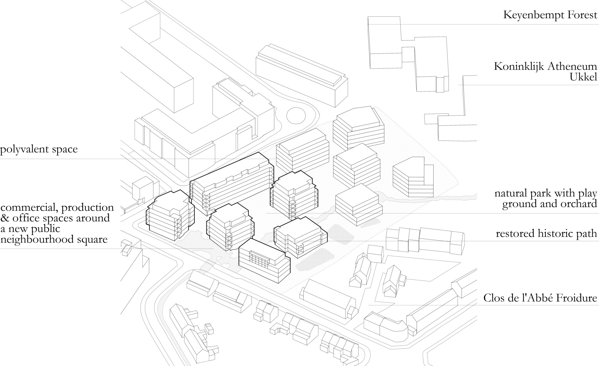

Calevoet
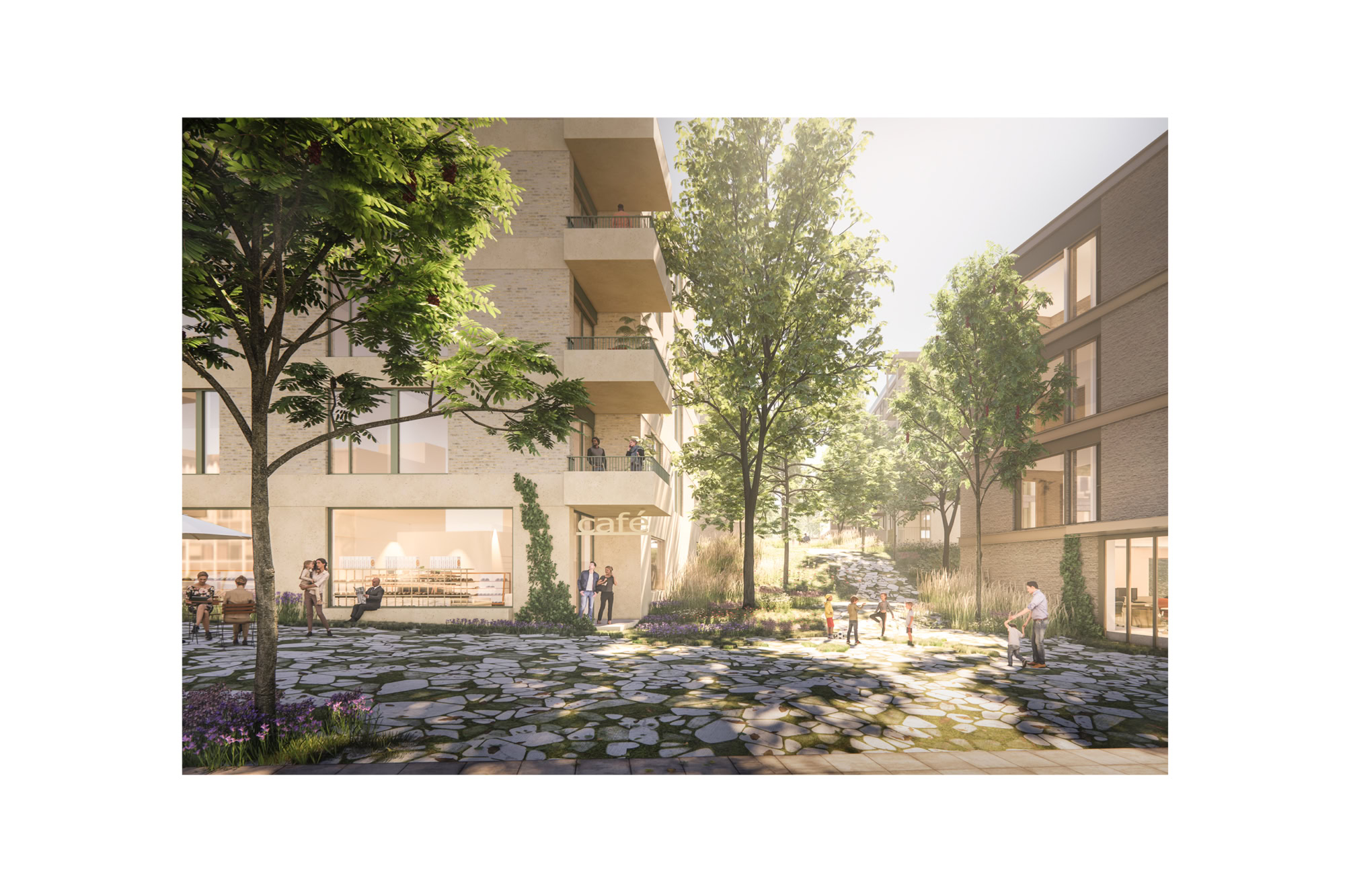
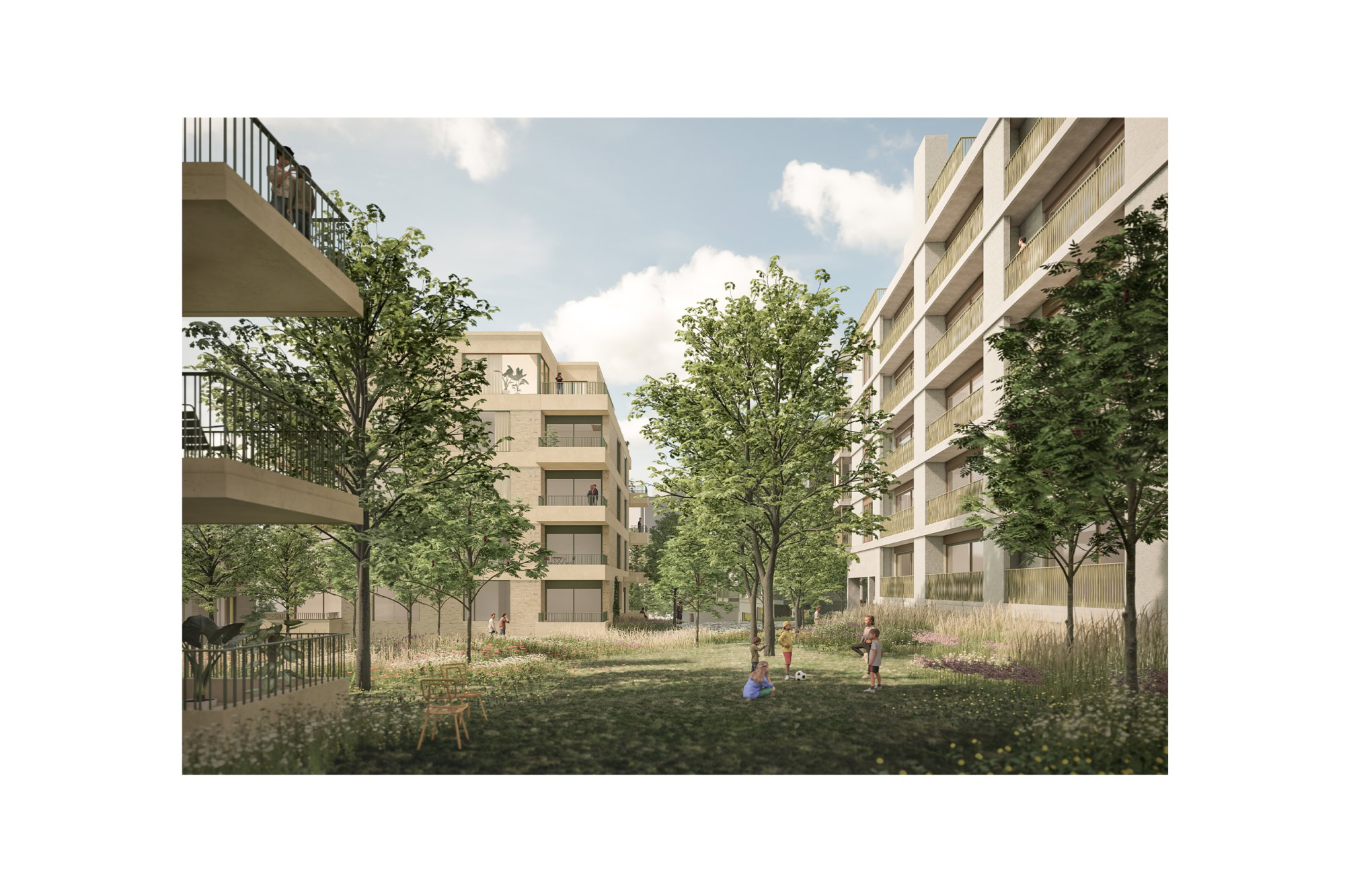
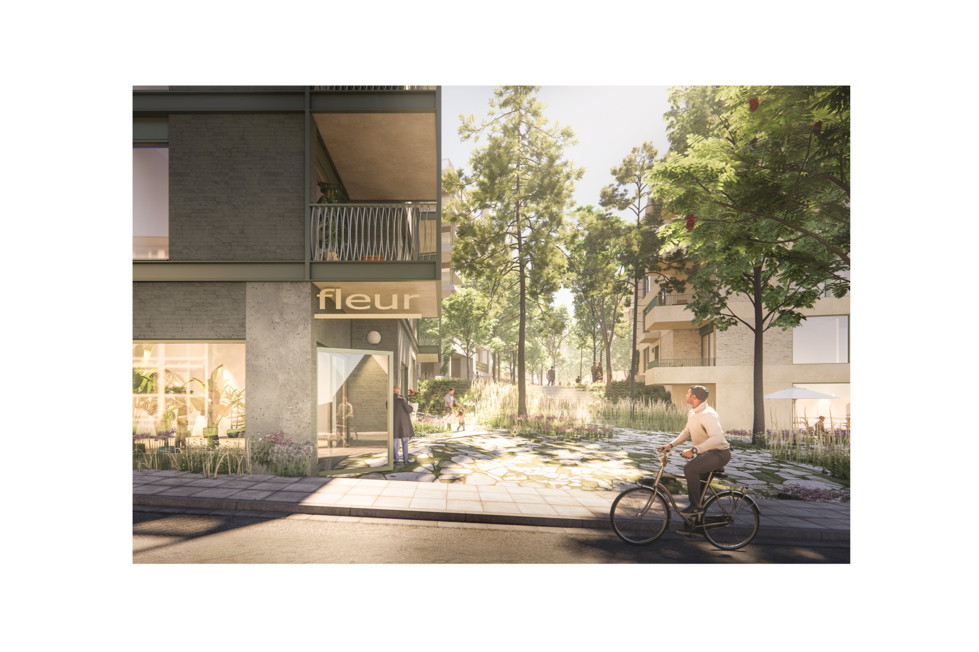
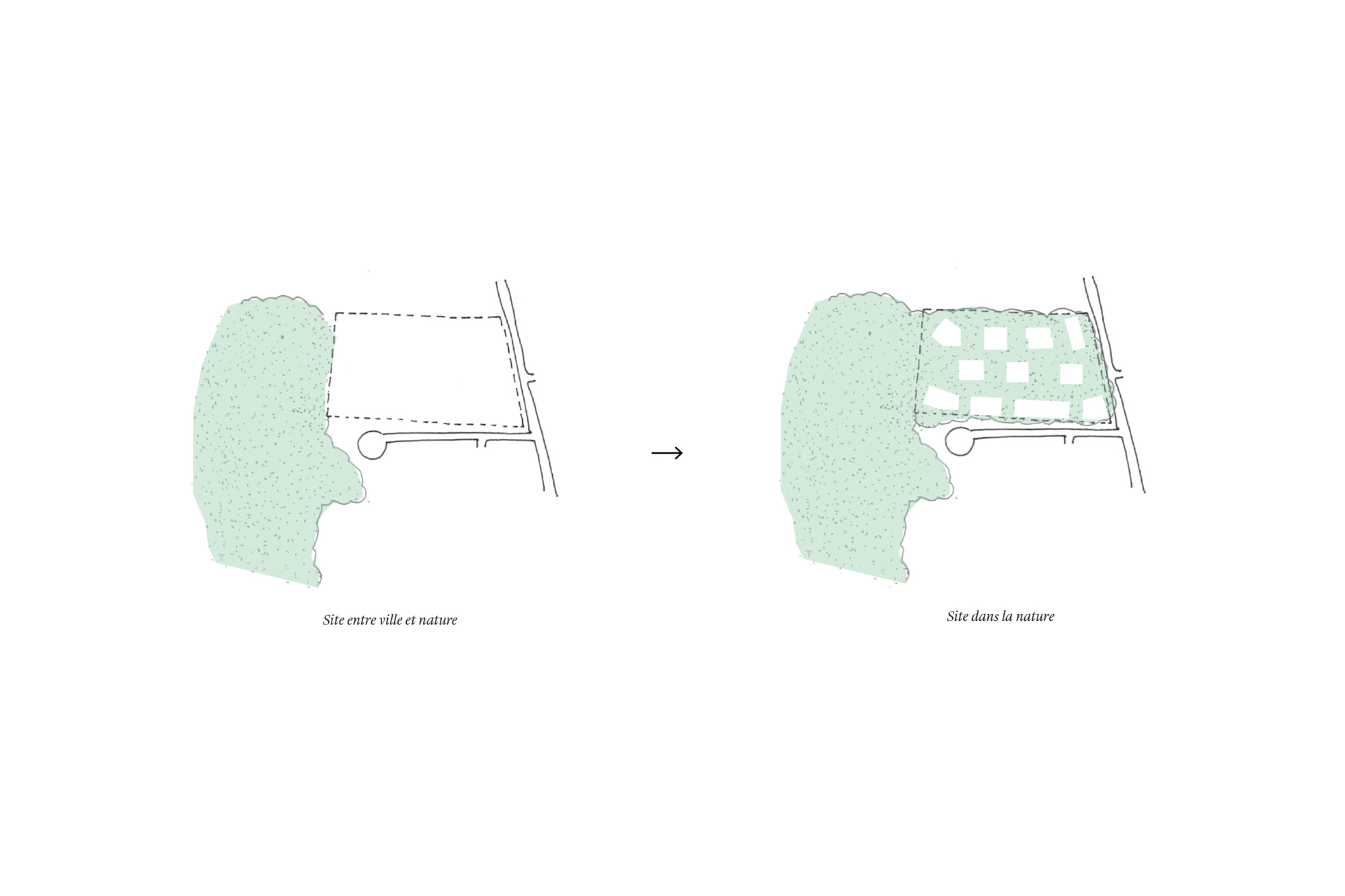
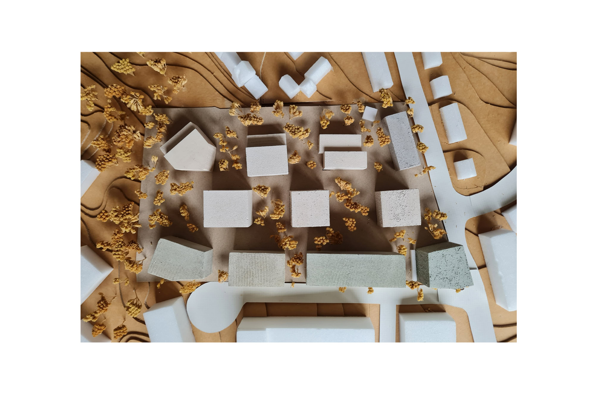
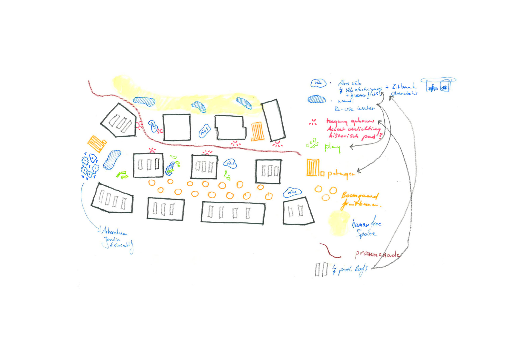
The site extends over two parcels that were previously occupied by two enormous blind volumes used as office space, surrounded by parking lots, asphalt and short-mowed grass with little ecological value. The master plan aims at transforming the site into a residential area in the middle of real urban nature of high biodiversity quality, permanently accessible to the public and laid out as a wooded zone that connects to the forest behind.
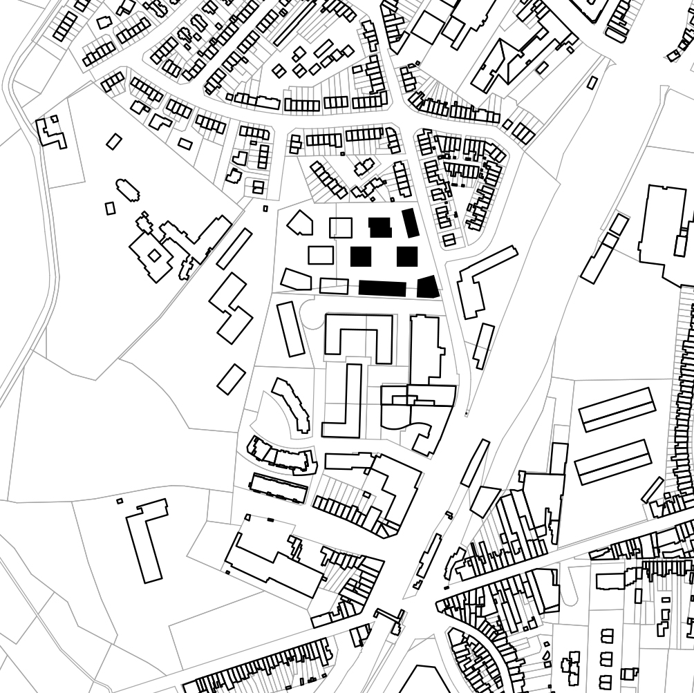
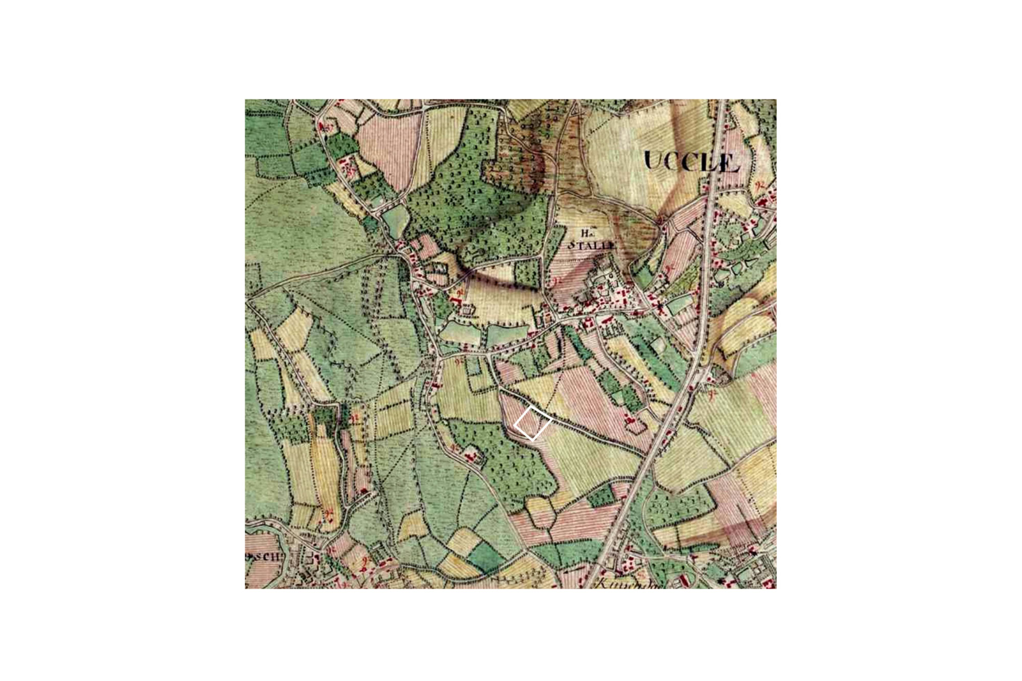
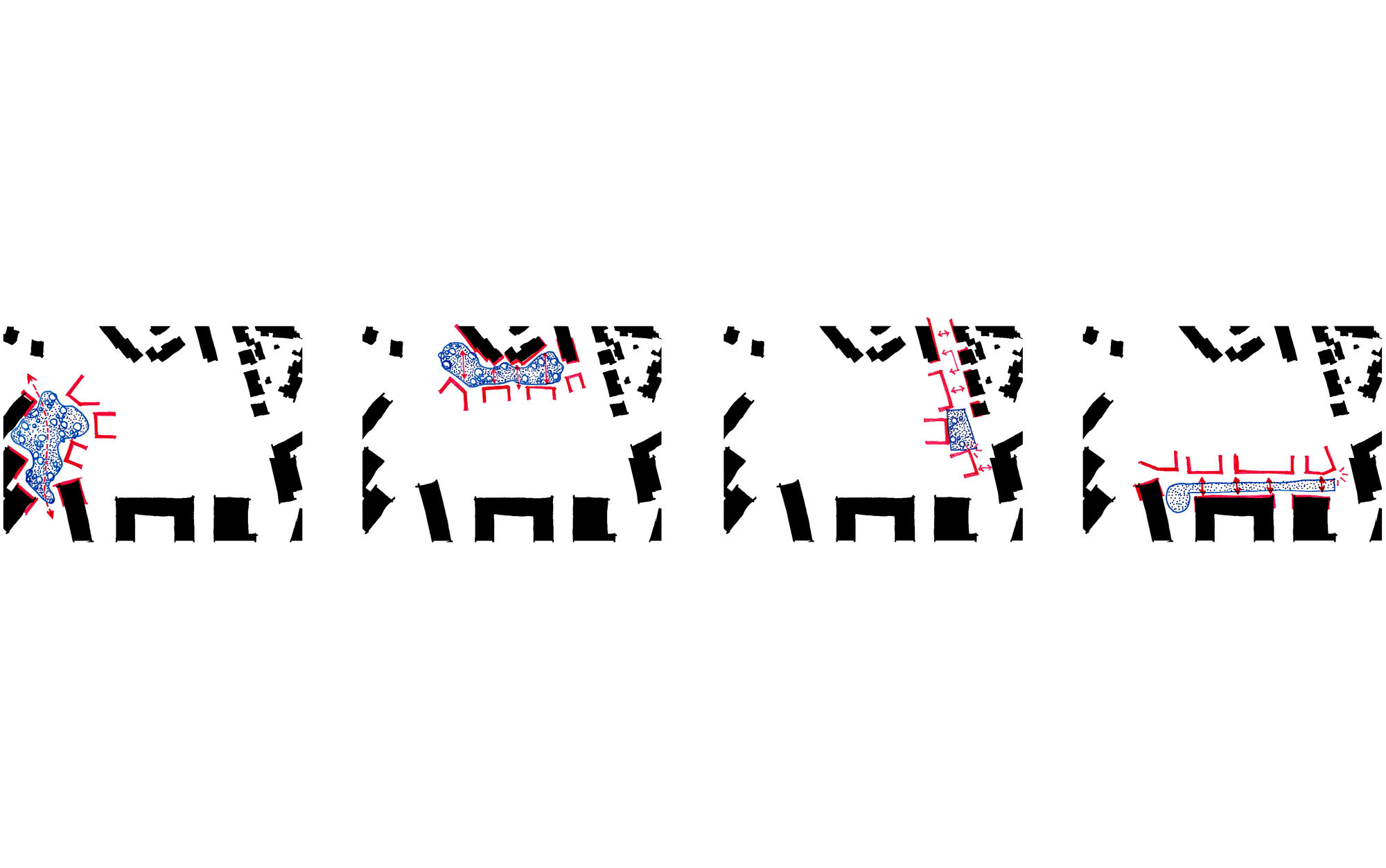
There are totally different types of buildings around the site. For this reason, the masterplan shows a different face on the four sides of the plot, each tailored to the context. The large, blind office buildings are replaced by a number of buildings with a smaller grain, planted in a checkerboard pattern. This implantation ensures that 70% space is allocated to greenery and afforestation, and thus that each building is surrounded by trees. In addition, this provides very high permeability for rainwater as well as the porosity of the site for pedestrians and cyclists. The historic path as seen on the Ferraris map of 1776 will be restored, completing the missing link from the city to nature.
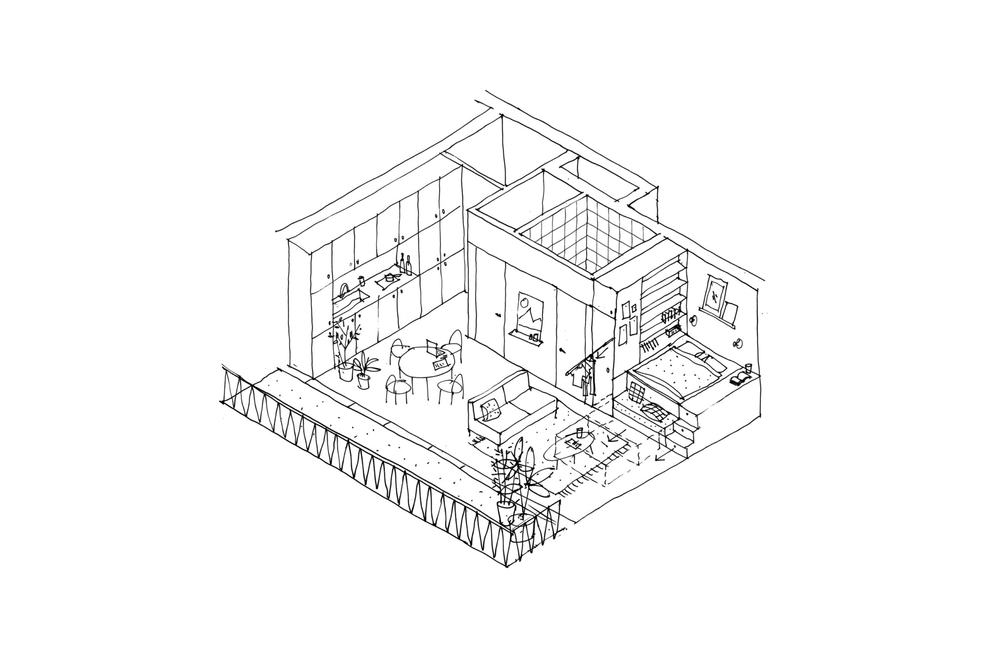
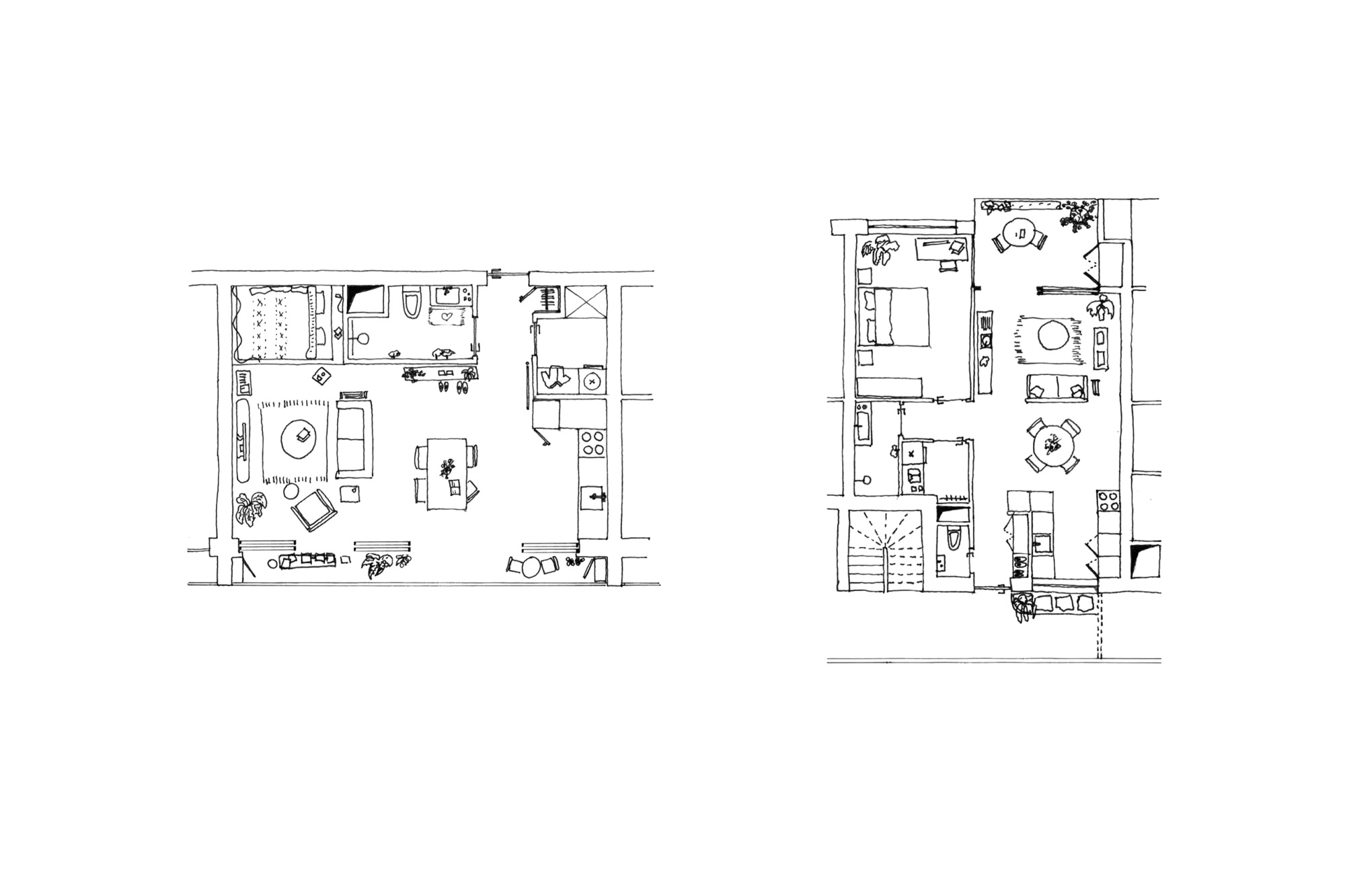
A gradient in building density and building height is ensuring the match with the building height and grain on the adjacent parcels. The project thus builds a bridge between a dense residential development in the east and a cul de sac consisting of ground-connected homes in the west. This transition in density creates a multitude of housing typologies tailored to different family compositions and age groups. All in relation to nature, in close contact with the city.